
The Dolomites
Pale limestone peaks, high passes and green meadows in northeast Italy. One of the best mountain drives in Europe.
- Region
- Veneto, Trentino & South Tyrol
- Highest peak
- Marmolada, 3,343 m
- UNESCO
- 2009
- Best season
- Jun–Sep
Before you go
- Many passes are busy with cyclists and motorbikes in summer; start early.
- Access to Lago di Braies and the Tre Cime toll road can be limited at peak times. Check the booking rules.
- South Tyrol is bilingual: most places have an Italian and a German name.
Planning the drive
Bolzano and Cortina make good bases at opposite ends. Between them, the Great Dolomite Road and a series of passes (Pordoi, Sella, Gardena, Falzarego, Giau) link the valleys. Most are open all year but can close after snowfall.
Camping
Wild camping is generally not allowed. Use campsites or official motorhome stopovers, and book ahead in July and August.
FAQs
When are the high passes open?
Most main passes are kept open all year, but the highest roads can close after snow. Summer (June to September) is the reliable season.
Are the roads OK for motorhomes?
Yes, the main passes are wide enough, but hairpins are tight. Drive in low gear on descents and pull over to let faster traffic pass.
Places to see
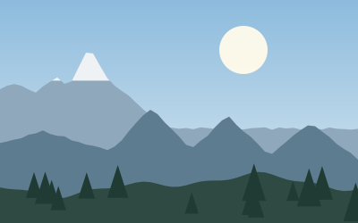
 © Matt Sclarandis motornomad · CC0
Tre Cime di Lavaredo
Three limestone towers, the symbol of the Dolomites. A toll road climbs to the Auronzo hut, then an easy…
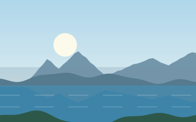
 © No machine-readable author provided. Ampfinger assumed (based on copyright claims). · CC BY-SA 3.0
Lago di Braies
An emerald lake below sheer cliffs, with rowing boats and a flat path around the shore. Road access is…
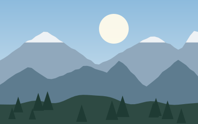
 © Ximonic (Simo Räsänen) · CC BY-SA 4.0
Passo Giau
A 2,236 m pass with tight hairpins and a wall of peaks at the top. Come at sunrise.
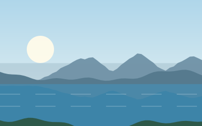
 © Ximonic (Simo Räsänen) · CC BY-SA 4.0
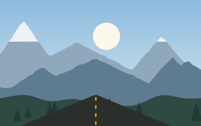
Lago di Misurina
A calm alpine lake ringed by Dolomite peaks, with an easy path around the shore and the Sorapiss group…
 © Ximonic (Simo Räsänen) · CC BY-SA 4.0
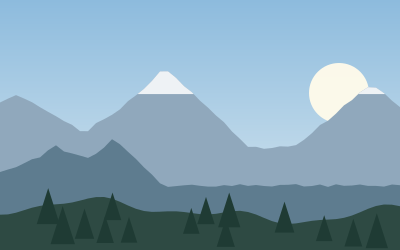
Passo Gardena
The 2,121-metre pass between Val Gardena and Val Badia, with the pale towers of the Cir group on one side…
 © Z thomas · CC BY-SA 4.0
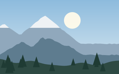
Passo Pordoi
A 2,239 m pass on the Sella ring road. A cable car lifts you to the Sass Pordoi terrace at almost 3,000 m.
 © H. Zell · CC BY-SA 3.0
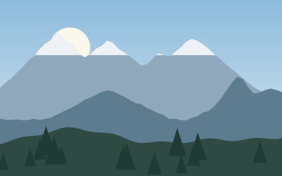
Passo Sella
A 2,240-metre pass right under the walls of the Sassolungo and the Sella group, on the road between Val…
 © Wolfgang Moroder · CC BY-SA 3.0
Seceda
A grassy ridge at 2,500 metres that ends in a sharp drop, facing the jagged Odle group. A cable car from…
Campsites nearby
- Camping OlympiaCampsite5 km from · 314 pitchesTentsCaravansElectricityDrinking waterShowersToiletsWi-Fi
- Camping RocchettaCampsite10 km fromTentsCaravansElectricityDrinking waterShowersToiletsWi-Fi
- Camping CortinaCampsite10 km fromTentsCaravansElectricityDrinking waterShowersToiletsWaste disposal
- Camping Lago di Dobbiaco - Toblacher SeeCampsite12 km fromTentsCaravansElectricityDrinking waterShowersToiletsWaste disposalWi-Fi
- Camping OlympiaCampsite14 km fromTentsCaravansElectricityDrinking waterShowersToiletsWaste disposal
- Camping Sass DlaciaCampsite16 km fromTentsCaravansElectricityDrinking waterShowersToiletsWaste disposalWi-Fi
All campsites in Italy · Campsite data: © OpenStreetMap contributors, ODbL 1.0 · Updated October 3, 2026


.jpg)