Highway 1 south: San Francisco to Santa Cruz and Monterey
The quiet stretch of Highway 1 south of San Francisco, with farm-stand towns, a tall lighthouse, an elephant seal colony and the beaches of Santa Cruz.
- Distance
- 182 km (113 mi)
- Driving
- 2 h 01 min
- Suggested days
- 2
- Stops
- 7
- States
- CA
- Updated
- July 15, 2026
At a glance: 2-day road trip of about 182 km (113 mi) with 7 stops, from San Francisco to Monterey. About 2 h 01 min of driving in total.
More road trips in California · More road trips from San Francisco
Route description
Leave San Francisco on Highway 1 through Pacifica and the Tom Lantos Tunnels to Half Moon Bay, about 45 minutes away. The town has a small historic main street and a long coastal trail along the bluffs. South of it, Highway 1 runs as a two-lane road past pumpkin fields, artichoke farms and state beaches, with few services until Santa Cruz.
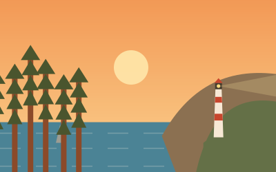
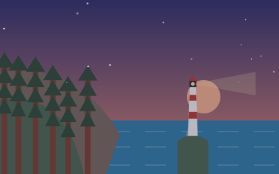
Pigeon Point Light Station stands on a rocky point beside the highway; the tower is closed but the grounds and the whale-watching bluff are open. A few miles south, Año Nuevo State Park protects a large elephant seal colony. From mid-December to the end of March you can see the seals only on guided walks, which must be booked in advance.
Santa Cruz has a classic beach boardwalk, surf spots at Steamer Lane and a wharf. On the west side of town, Natural Bridges State Beach has a surviving sea arch, tide pools and a monarch butterfly grove where the insects cluster from October to February. Parking in central Santa Cruz is tight for motorhomes; use the state beach lots.
The final leg to Monterey follows Highway 1 around Monterey Bay, about 45 minutes, past strawberry fields and the harbour at Moss Landing, where sea otters often float near the docks. The whole drive is about 120 miles and can be done in a day, but two days allow time for the seals and beaches. Book state beach campgrounds early in summer.
Stop-by-stop itinerary
In driving order. Distances are estimates between consecutive stops.
- 1Start
San Francisco
CA - 242 km
Half Moon Bay
CA - 338 km
Pigeon Point Light Station
ViewsPescadero, CAOne of the tallest lighthouses on the West Coast, on a rocky point beside Highway 1. The tower is closed to climbing, but the grounds and whale-watching bluff are open daily; parking is small.
- 412 km
Año Nuevo State Park
NaturePescadero, CAA breeding colony of northern elephant seals on the dunes of Año Nuevo Point. From mid-December to March you can visit only on guided walks booked ahead; the rest of the year you can hike out with a free permit from the visitor center.
- 537 km
Santa Cruz
CA - 64 km
Natural Bridges State Beach
NatureSanta Cruz, CAA beach on the west edge of Santa Cruz with a surviving sea arch, tide pools and a eucalyptus grove where monarch butterflies cluster from October to February. Day-use parking fee; street parking outside.
- 750 km
Monterey
CA
Suggested stages and overnight stops
2 days, split by driving time. Campsites from OpenStreetMap: check opening dates before you go.
- Day 1: San Francisco → Año Nuevo State Park · 57 mi · 1 h 01 minOn the way: Half Moon Bay, Pigeon Point Light Station.Overnight nearby, for example: Henry Cowell Redwoods State Park Campground (17 mi); Huckleberry Flat Dog Campground (12 mi).
- Day 2: Año Nuevo State Park → Monterey · 57 mi · 1 h 01 minOn the way: Santa Cruz, Natural Bridges State Beach.Overnight nearby, for example: Monterey Fairgrounds RV Park (2 mi); Montery Pines RV Campground (2 mi).
Best time to go
The most pleasant months are usually May–October. Still fine, with some compromises, in March–April and November. July and August are the busiest months: book campsites early.
Estimate from long-term temperature averages, terrain and pass seasons
FAQs
How long is Highway 1 south: San Francisco to Santa Cruz and Monterey?
2-day road trip of about 182 km (113 mi) with 7 stops, from San Francisco to Monterey. About 2 h 01 min of driving in total.
How many days do you need for Highway 1 south: San Francisco to Santa Cruz and Monterey?
We suggest 2 days: about 2 h 01 min of driving, which leaves time for the stops.
Where does Highway 1 south: San Francisco to Santa Cruz and Monterey start and end?
It starts in San Francisco and ends in Monterey.
Which states does Highway 1 south: San Francisco to Santa Cruz and Monterey pass through?
California.
Where can you camp along Highway 1 south: San Francisco to Santa Cruz and Monterey?
OpenStreetMap lists 145 campsites and motorhome stopovers within 19 mi of the stops on this route. For example: New Brighton State Beach Campground, Anthony Chabot Family Campground and Santa Cruz / Monterey Bay KOA Holiday.
When is the best time for Highway 1 south: San Francisco to Santa Cruz and Monterey?
The most pleasant months are usually May–October. Still fine, with some compromises, in March–April and November. (Estimate from long-term temperature averages, terrain and pass seasons)