📷 Photo by Leonardo Venturoli on Unsplash
Famous route
Norway’s fjords & Atlantic Road
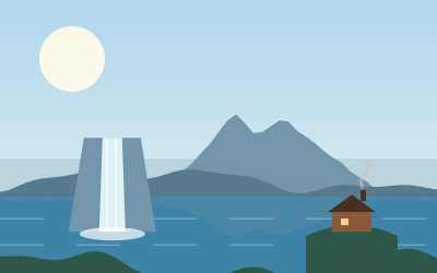
Deep fjords, mountain roads and a string of bridges across the sea on Norway’s west coast.
- Atlantic Road
- 8.3 km
- Bridges
- 8
- Suggested time
- 5–8 days
- Best season
- Jun–Aug
Before you go
- Many routes include short car ferries. They run often, but queues build in summer.
- Tolls are charged automatically by number plate. Register your vehicle online to receive the bill.
- Mountain roads such as Trollstigen usually open in late May.
Pacing it
Distances look short on the map, but ferries, hairpins and photo stops slow you down. Plan on 150 to 200 km a day.
FAQs
Can I camp anywhere in Norway?
The right to roam lets you pitch a tent on uncultivated land for a night or two, away from houses. Motorhomes must follow parking rules and use designated areas where signed.
Places to see

 © Rüdiger Stehn from Kiel, Deutschland · CC BY-SA 2.0
Views
Trollstigen
Eleven hairpin bends up a sheer mountainside, with a viewing platform at the top. Usually open late May to…
 © Ernst Vikne · CC BY-SA 2.0
Views
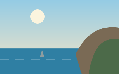
Atlanterhavsveien
About 8 km of road hopping across islets on eight bridges, most dramatic in stormy weather.

 © W. Bulach · CC BY-SA 4.0
Views
Ørnesvingen
The Eagle Road viewpoint above the Geirangerfjord and the Seven Sisters waterfall.